Understanding the Earth through observation.
Earth and environmental scientist integrating geophysics, remote sensing and environmental observation.
Seeing what can't be seen
More than 25 years of professional experience spanning seismic acquisition and processing, geological interpretation, physical oceanography, environmental degradation, GIS, remote sensing, satellite mapping, and astronomy.

Geophysics
Seismic acquisition, processing, imaging and interpretation, including 2D/3D land seismic, three-component data, VSP, marine multichannel seismic, ambient-noise seismology and magnetotellurics.

Earth observation
Satellite remote sensing, photogrammetry, long-range photographic observation, time-lapse analysis, GIS, drone-based mapping and integration of spatial and temporal environmental datasets.
Scientific practice
High-end scientific computing, quantitative analysis, technical reporting, scientific editing, teaching, public lectures, and communication of scientific results to specialists and non-specialist audiences.
Different instruments. One scientific question.
I work as a generalist, connecting disciplines, methods, measurements, spatial context, and time to understand processes that are otherwise difficult to see. I am comfortable moving between fields, and I stay with difficult problems until a defensible solution emerges.

A career built around measurement and interpretation.
My background is deliberately broad: I have worked across industry, government, academia, and environmental observation, learning different methods and disciplines along the way. I approach difficult problems as a generalist—connecting ideas, techniques, and evidence across fields, and staying with a problem until a defensible solution emerges. Download my detailed CV.
Independent Scientific Consultant / Scientific Editor
Scientific editing and communication, outreach, environmental investigations for Masquefa, long-range photographic and satellite observation, and technical environmental reporting.
Researcher · Lithica SCCL
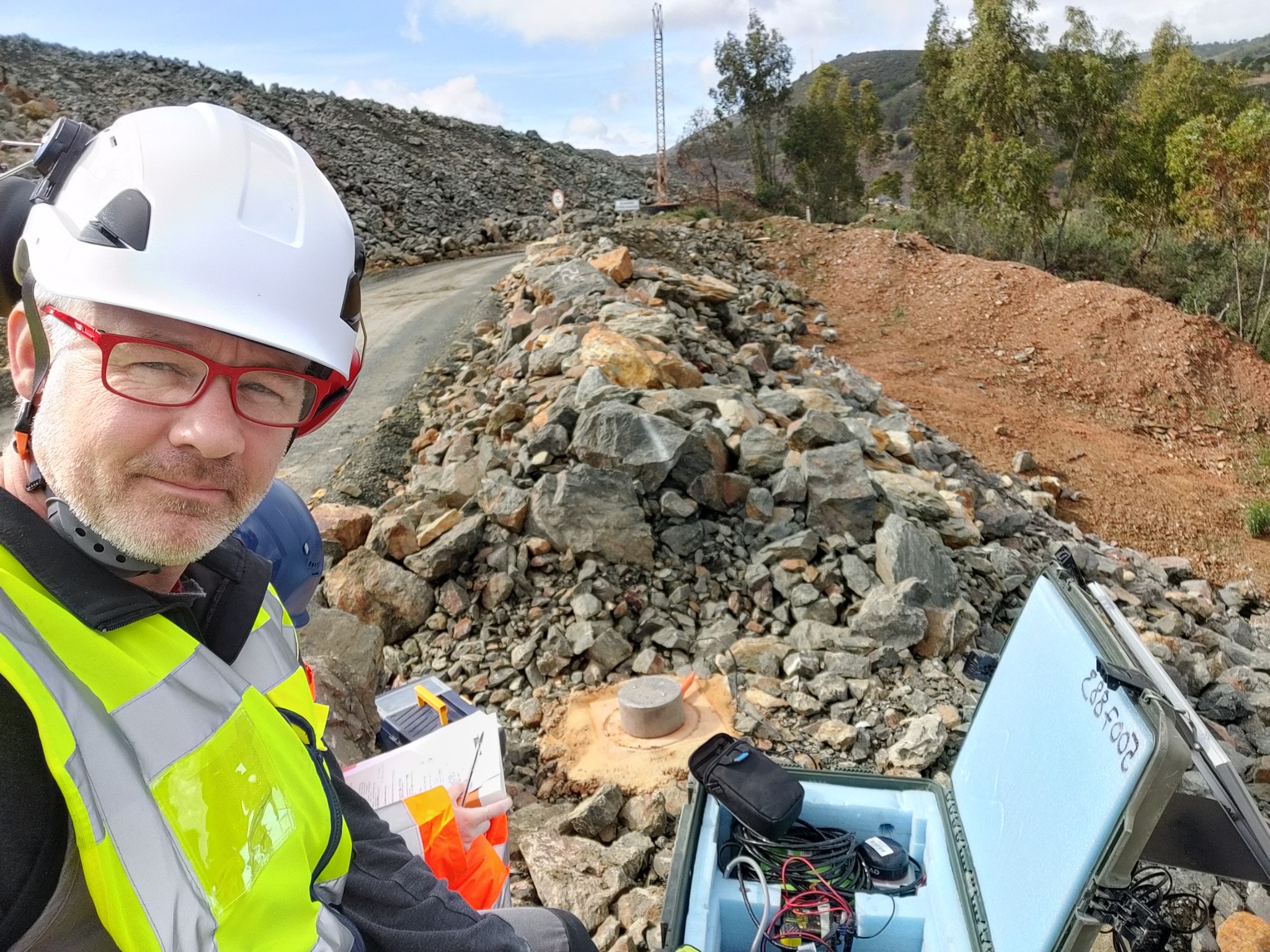
Ambient seismic-noise monitoring, critical-raw-material exploration, STONE field work at Rio Tinto, and magnetotelluric analysis for geothermal-resource feasibility.
Postdoctoral Researcher · GEO3BCN-CSIC
Geodynamics of the Alpine orogeny, with emphasis on the tectonic evolution of the Alboran Sea and Gulf of Cadiz.
Postdoctoral Researcher · GEOMAR, Kiel
Marie Curie Intra-European Fellowship research on seismic inversion and stochastic spectral analysis of thermohaline staircases in the Tyrrhenian Sea.
Doctoral Researcher · GEO3BCN-CSIC / ICM-CSIC
Development of seismic oceanography as a tool for physical oceanographic observation, forming the basis of MSc and PhD research.
Geophysicist · Geological Survey of Canada
2D/3D land seismic and vertical seismic profiles from acquisition through processing, interpretation and publication; three-component seismic, field acquisition and geological integration.
Seismic Data Processing · Canada
Commercial seismic processing and survey-geometry work with CTC Pulsonic, Geo-X Systems and Veritas DGC.
Projects that connect methods to real places.
A selection of work demonstrating the range of environments, instruments and scientific questions involved.
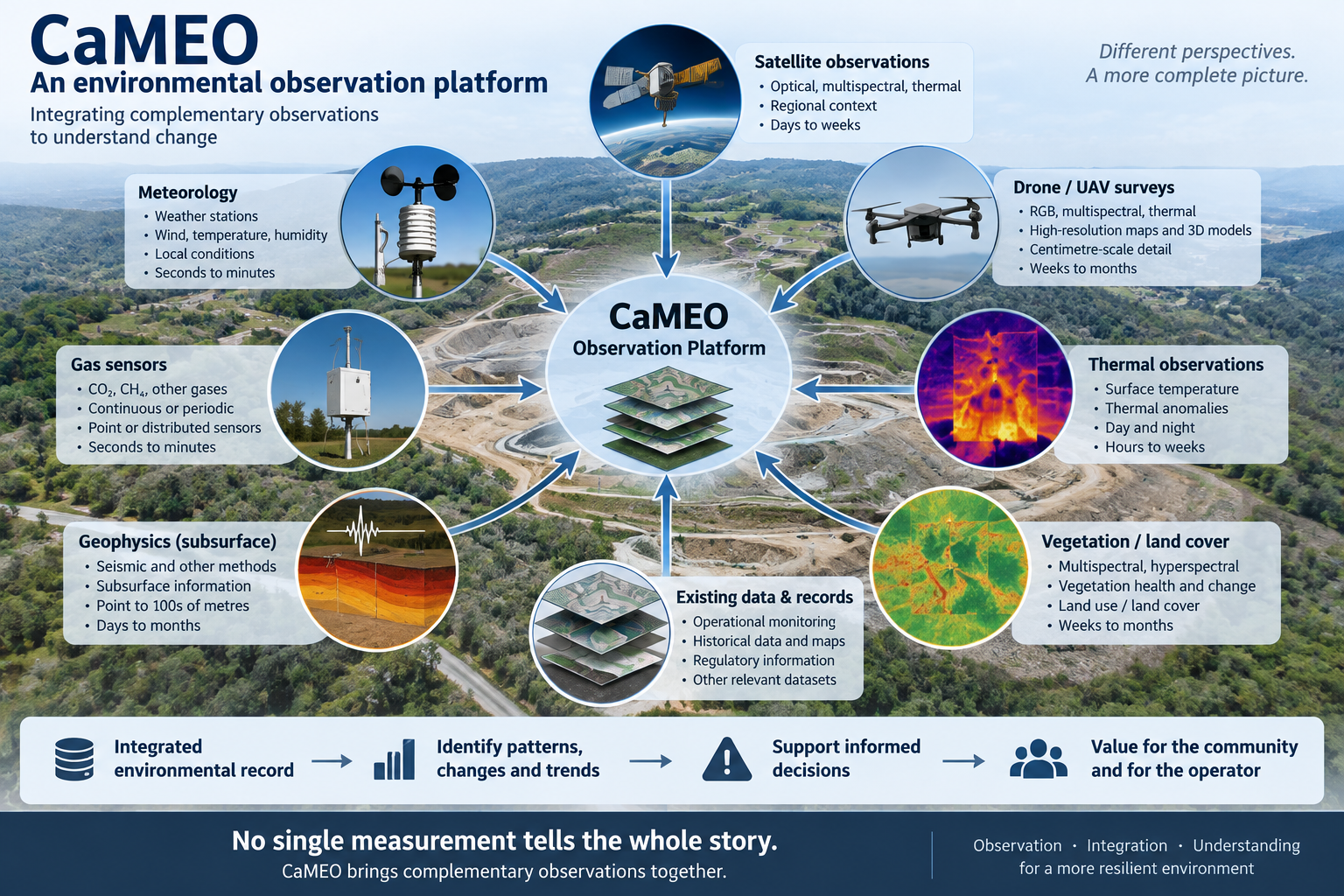
Building a longer-term environmental observation capability.
Since 2019, I have done several independent studies on the Can Mata landfill and its surroundings, including long-range photographic observation, satellite Earth observation assessment and technical reporting.
My current proposal is focused on integrating drone photogrammetry, multispectral and hyperspectral analysis, meteorology, environmental ground sensors and repeated spatial observations into an integrated temporal dataset.
The concept is framed as an independent, complementary scientific observation capability rather than a replacement for regulatory or operational monitoring.
Seismic Oceanography
Application of multichannel seismic reflection methods to image oceanographic fine structure, thermohaline staircases, eddies, internal waves, mixing and turbulence in the Mediterranean.
AGEMERA / STONE
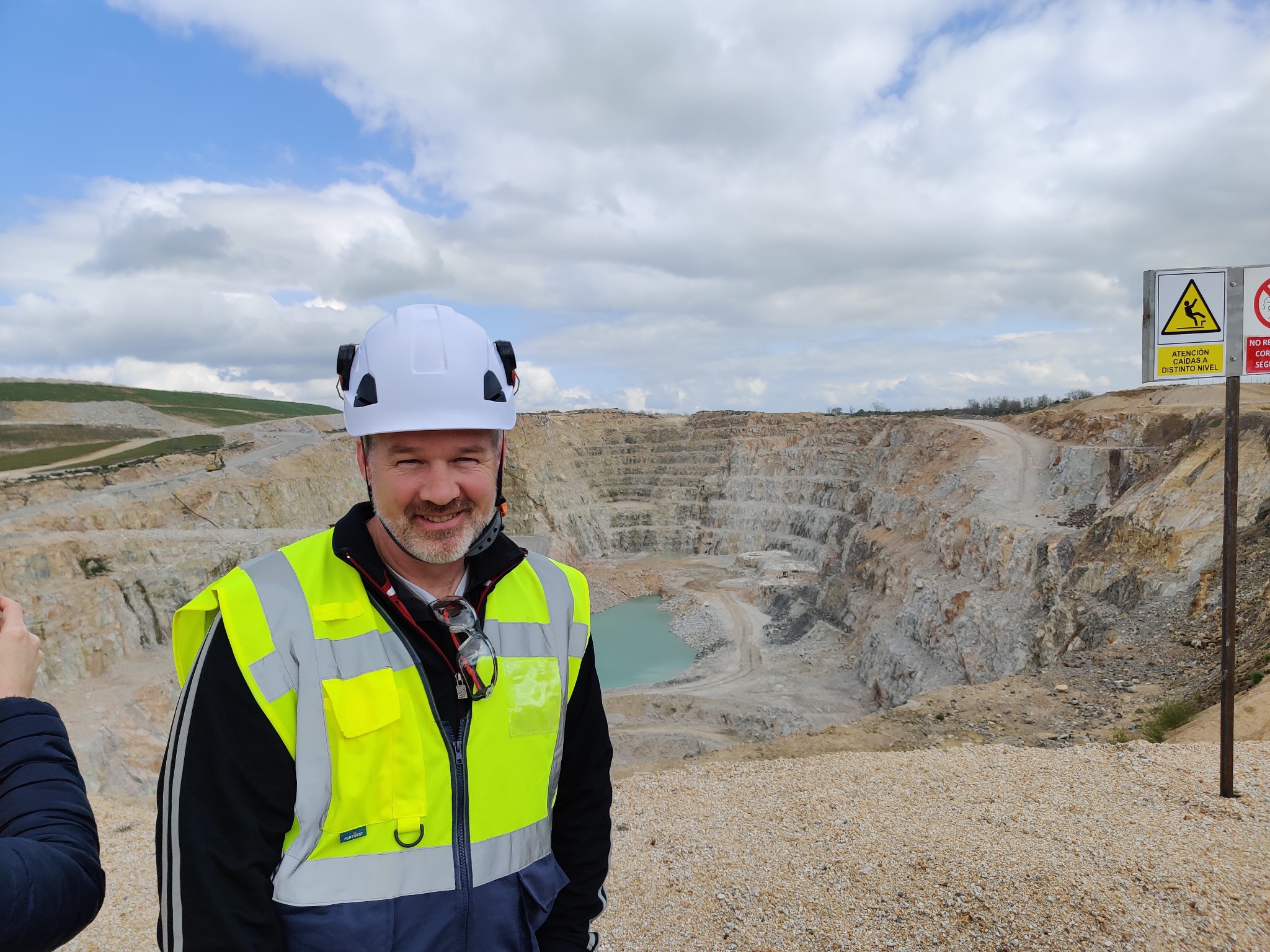
Recent geophysical work applying passive seismic and other non-invasive methods to critical-raw-material exploration and mine-scale investigation in Spain.
Whitehorse Trough
Land seismic and three-component investigations in Yukon, including work on sedimentary-basin structure, natural-gas potential and deep-crustal studies.
WE-ME
Postdoctoral research into the geodynamics of the Alpine orogeny, with particular emphasis on the tectonic evolution of the Alboran Sea and Gulf of Cadiz.
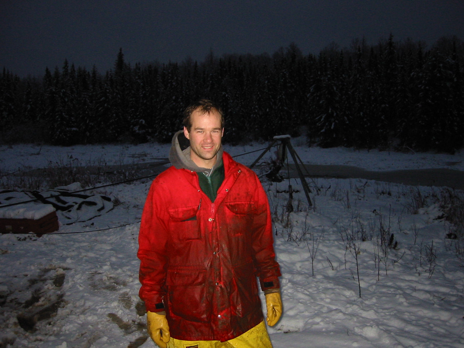
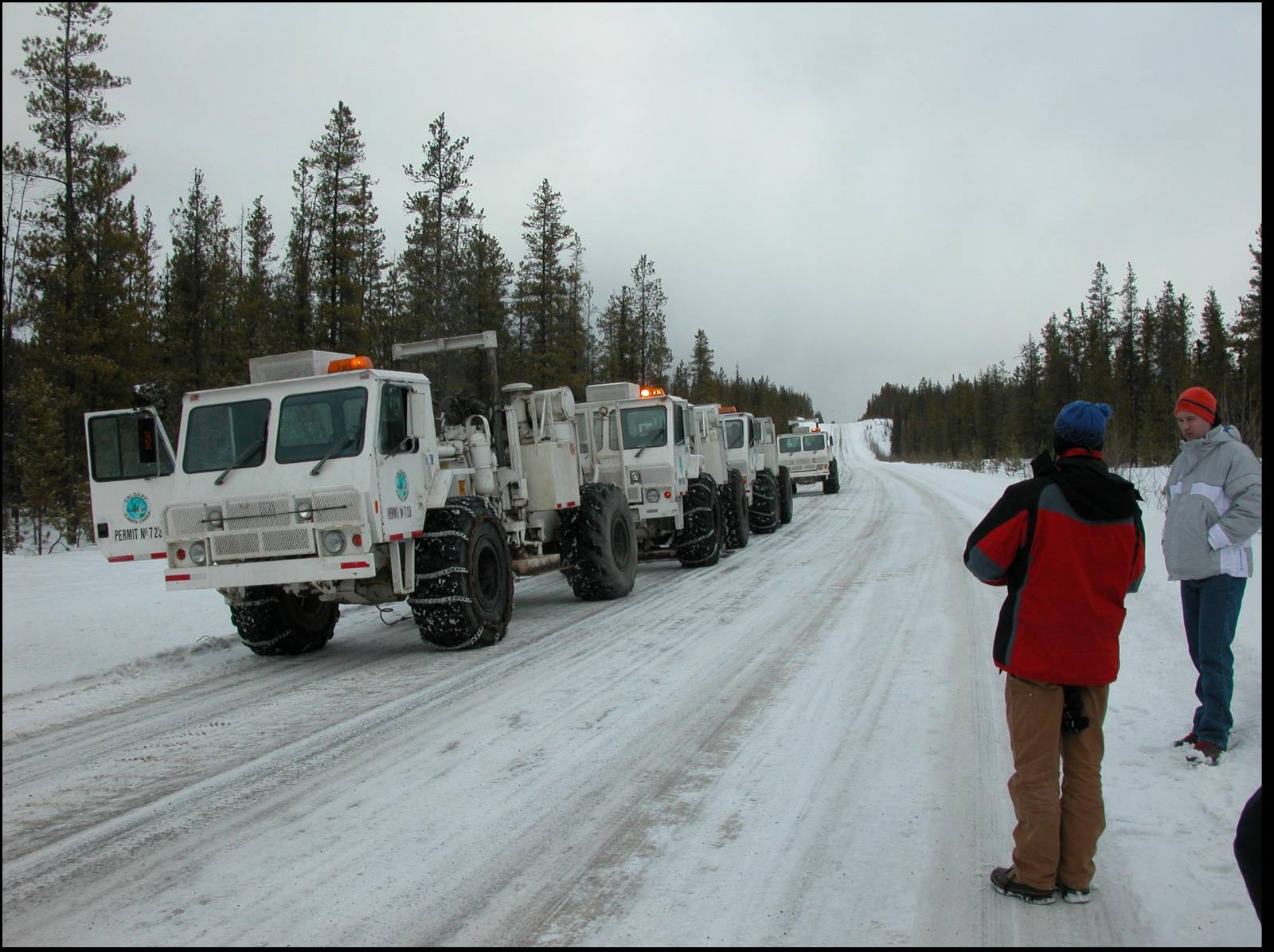
Fieldwork is data.
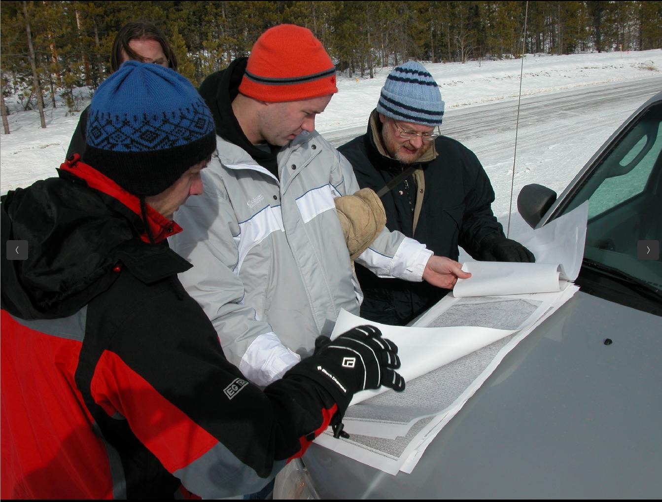
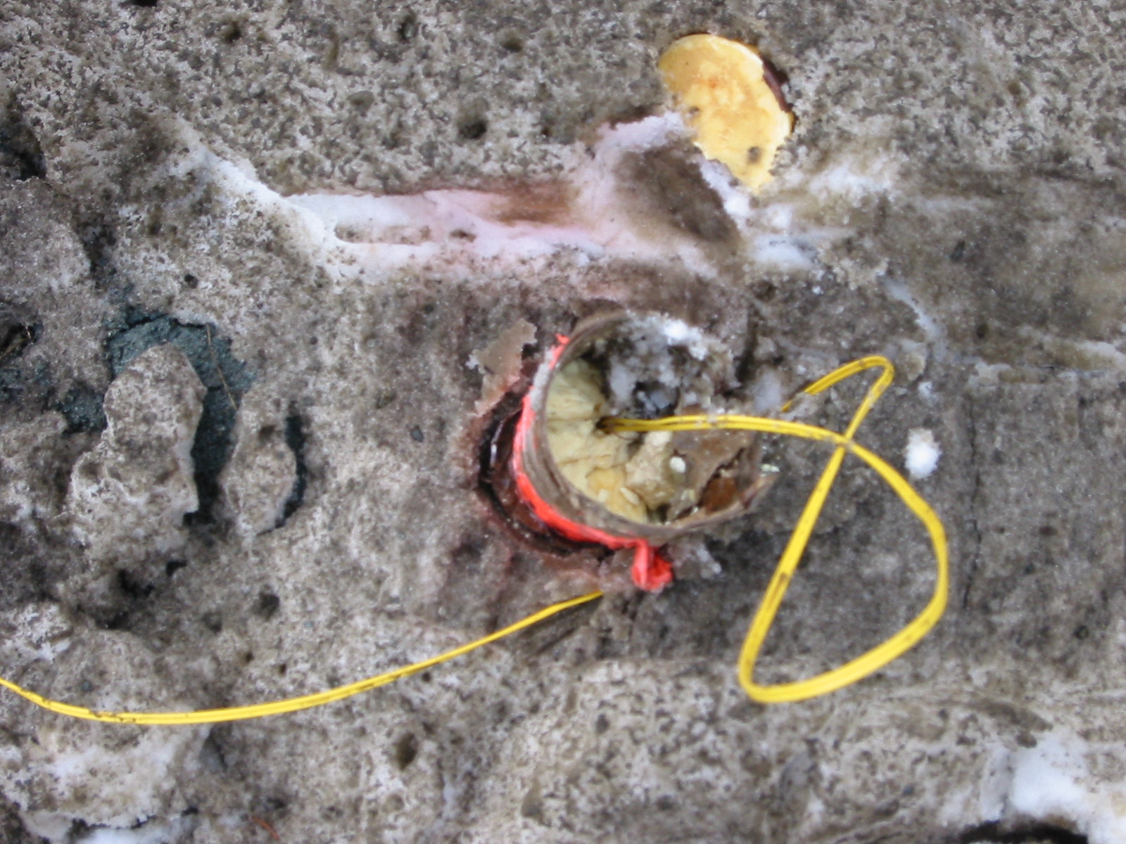
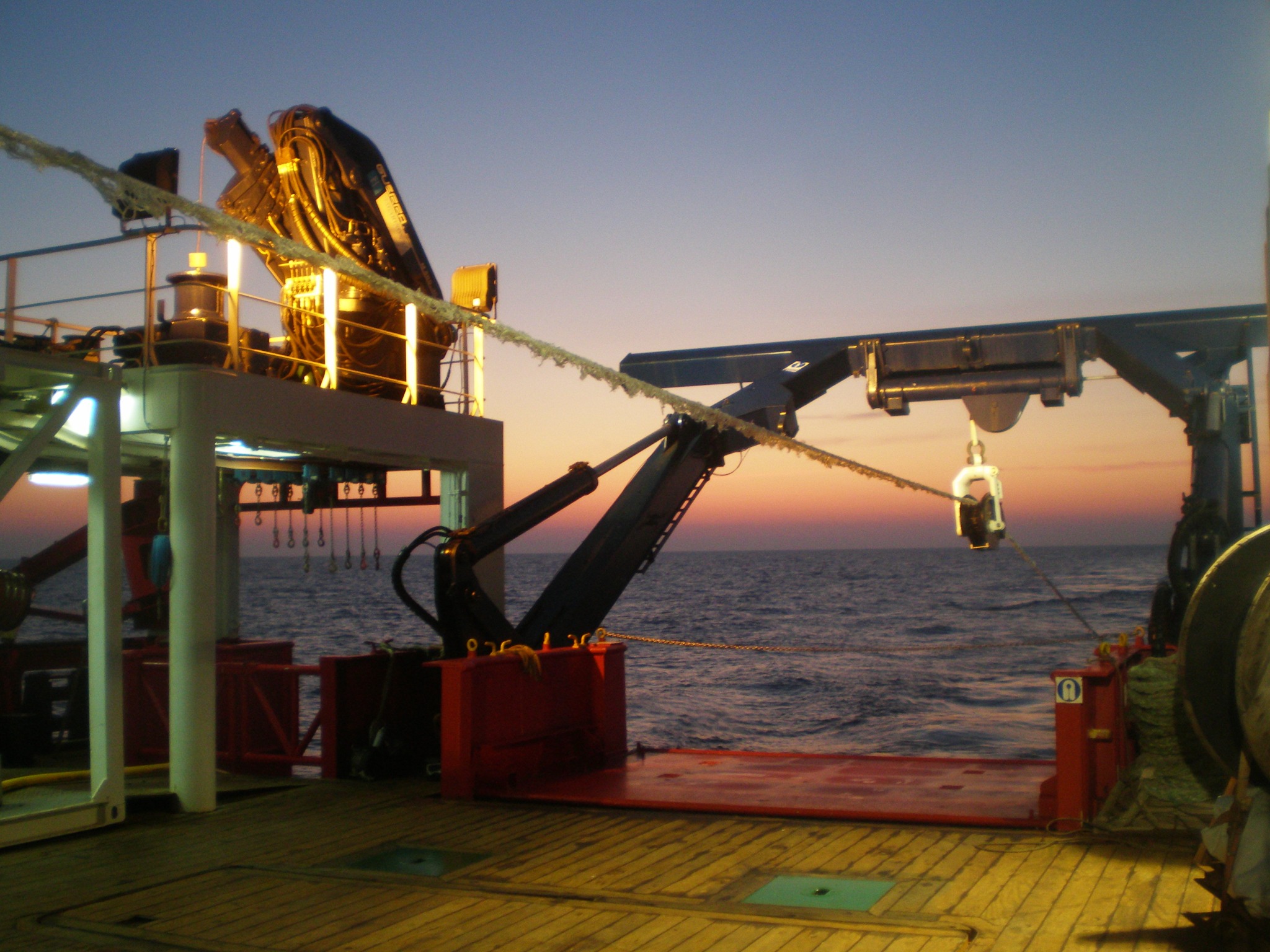
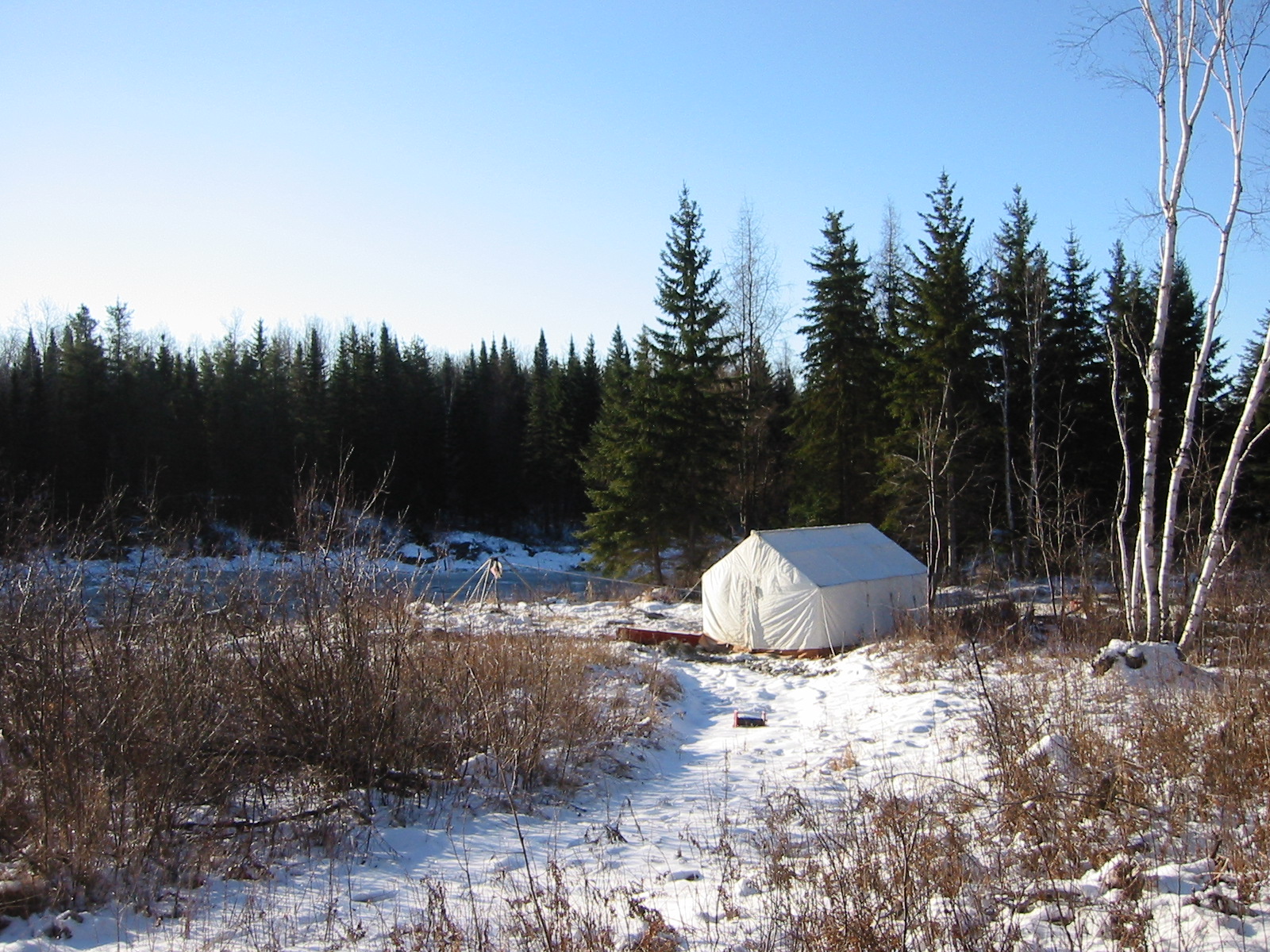
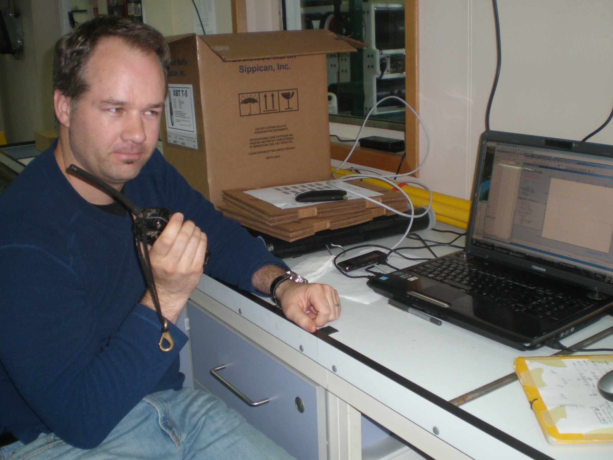
The visual archive isn't here for decoration—it's a running record of acquisition in the field, changing instrumentation, research environments, and how methods evolved on the ground over 25 years.
Research, publications and continuing investigation. Always curious!
My research has ranged from seismic oceanography and marine geophysics to regional tectonics, critical-raw-material exploration, hydrocarbon exploration, and environmental Earth observation.
Scientific instrumentation remains part of the practice.
In addition to professional project work, I maintain personal scientific instrumentation for observation and outreach.
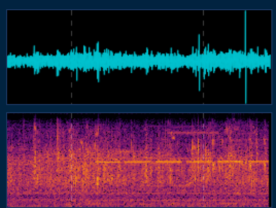
Raspberry Shake R942E
A continuously operating seismic station with live waveform data made freely accessible online.
 Open live data ↗
Astronomy and astrophotography
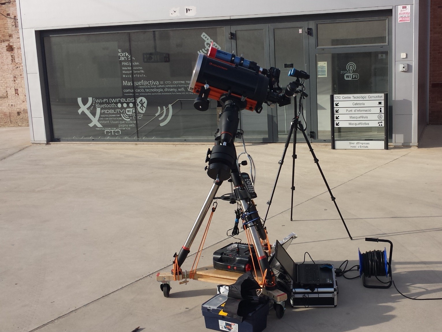
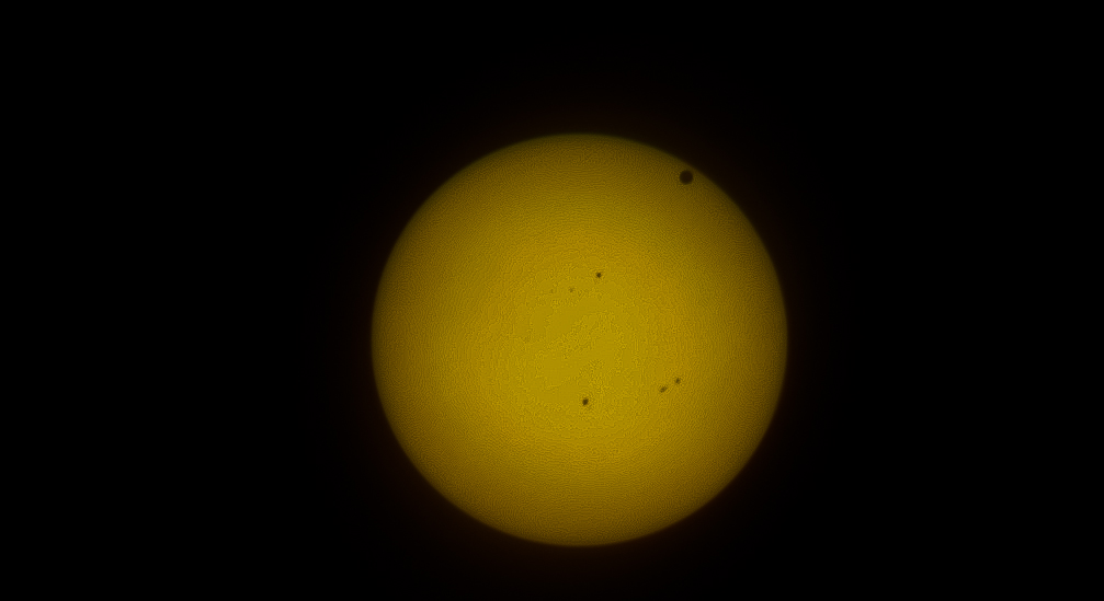
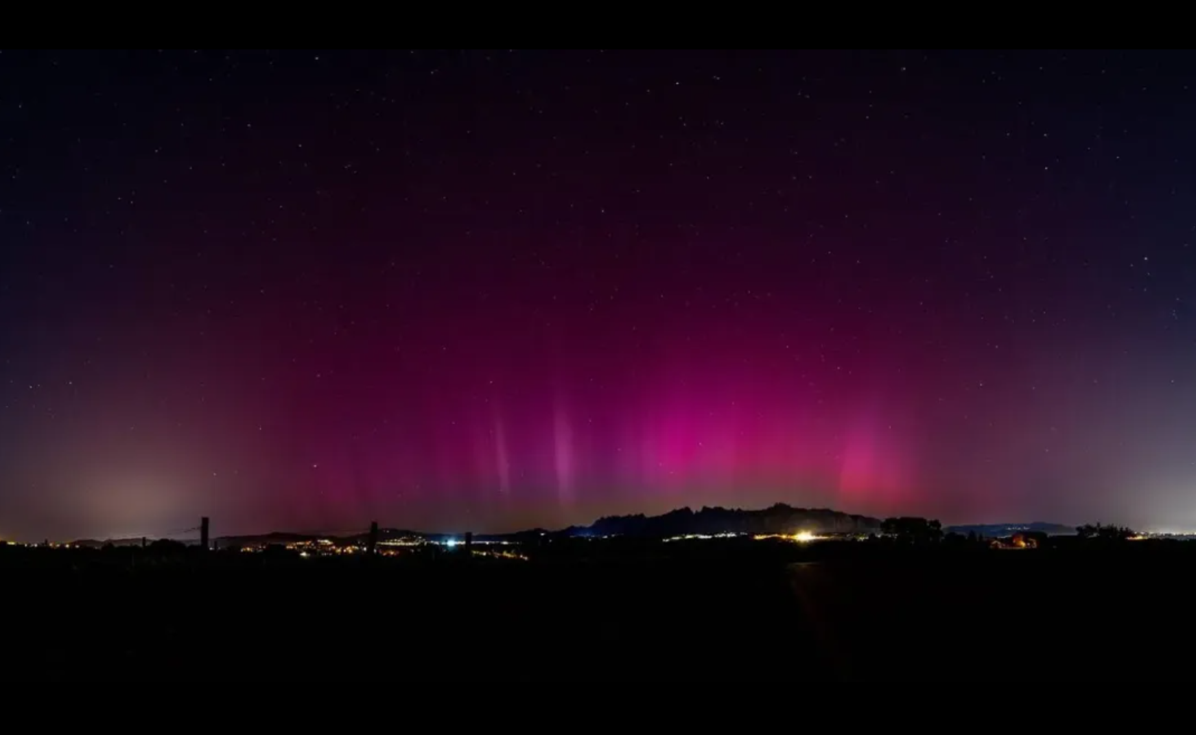
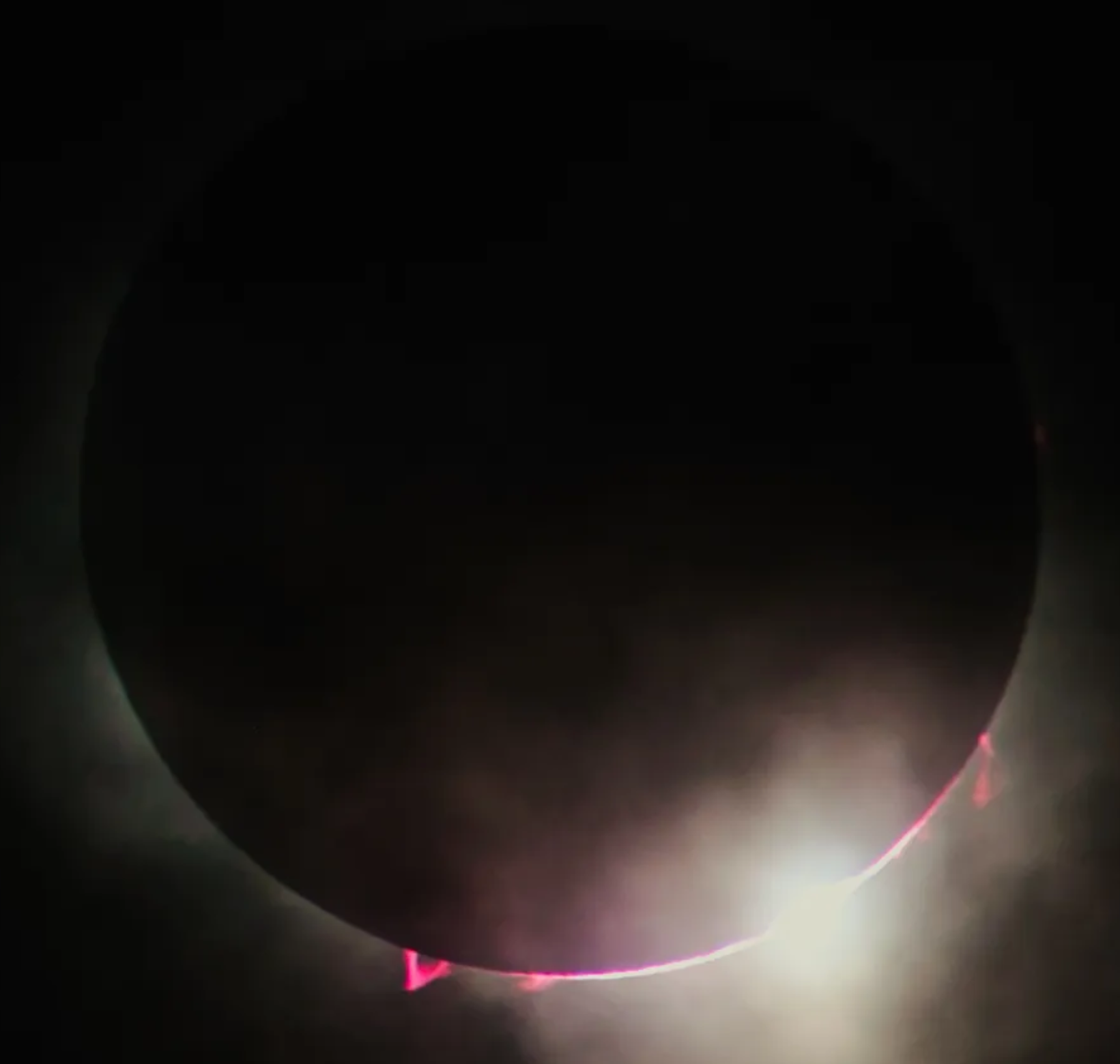
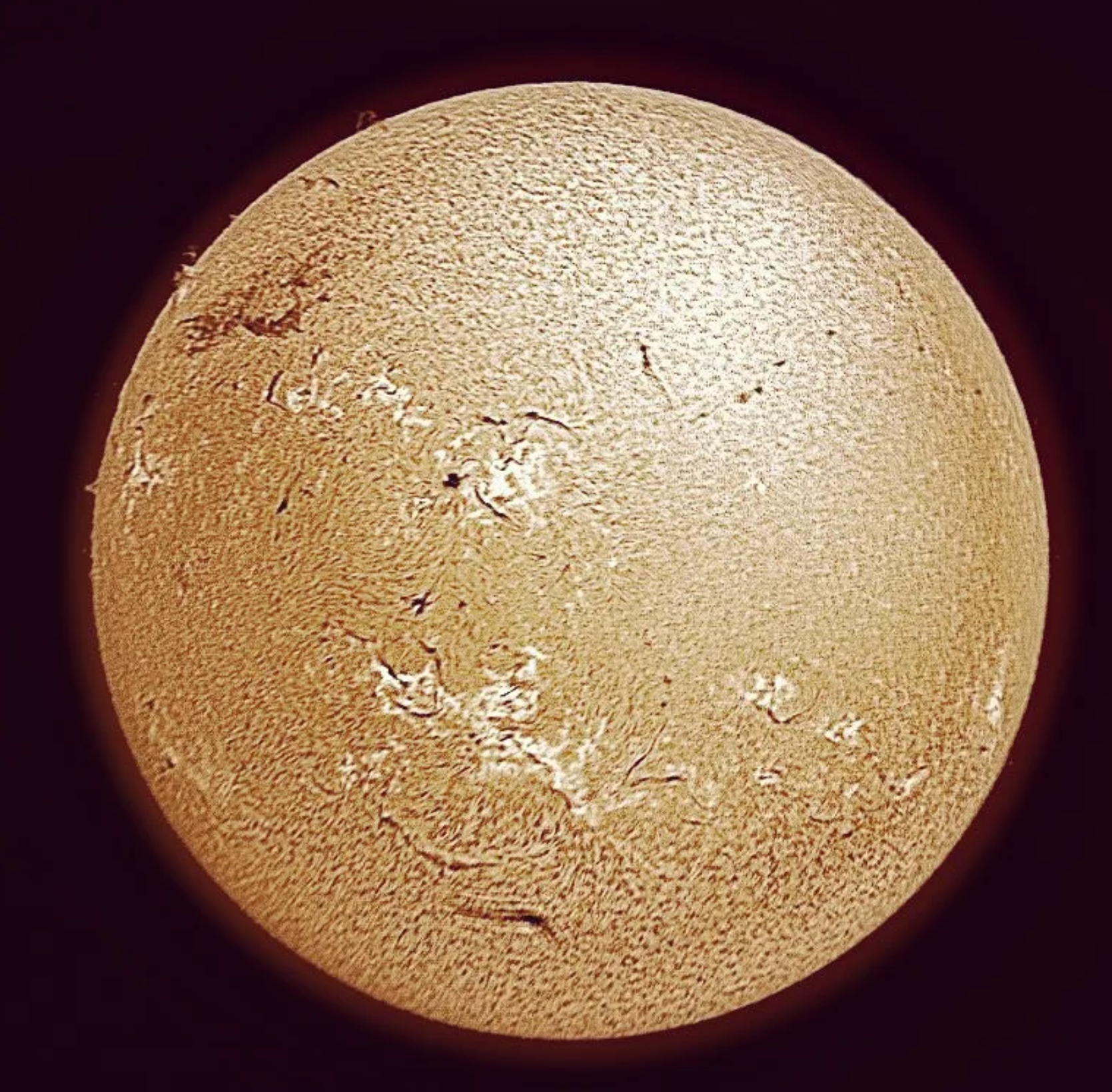
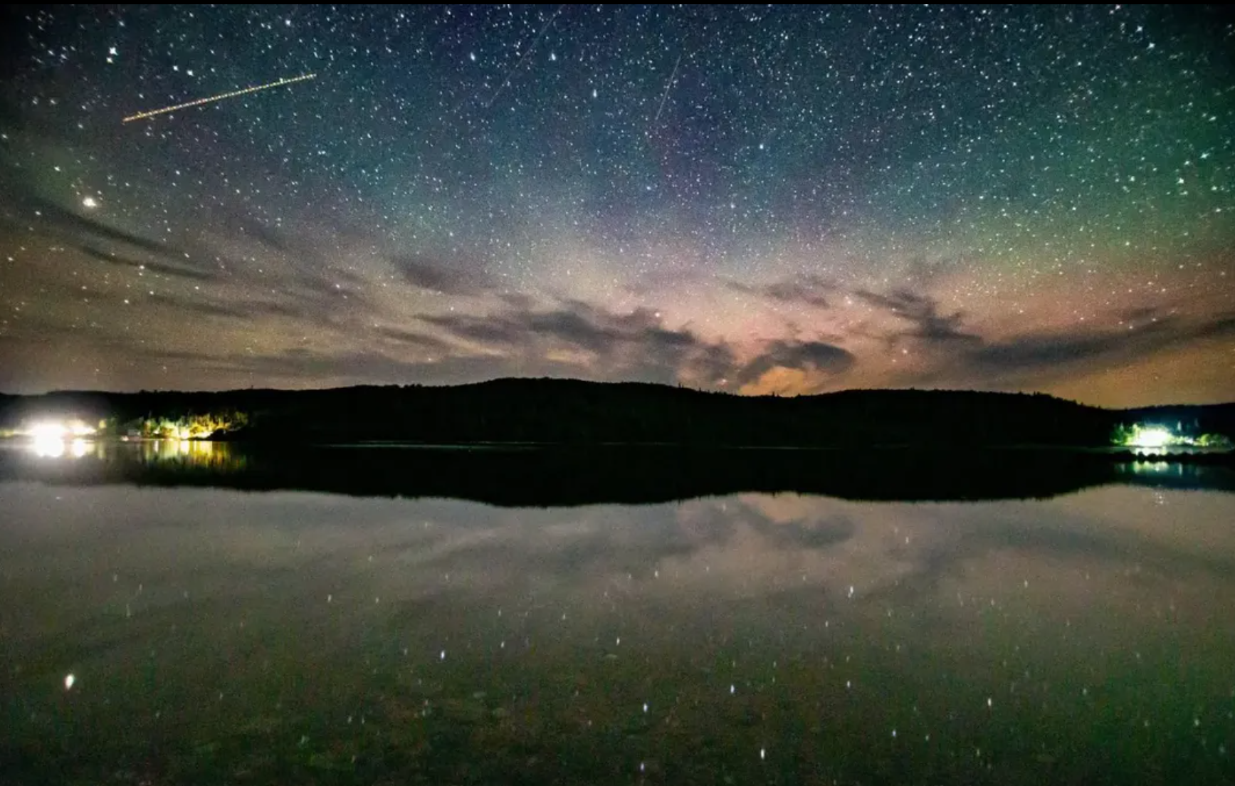
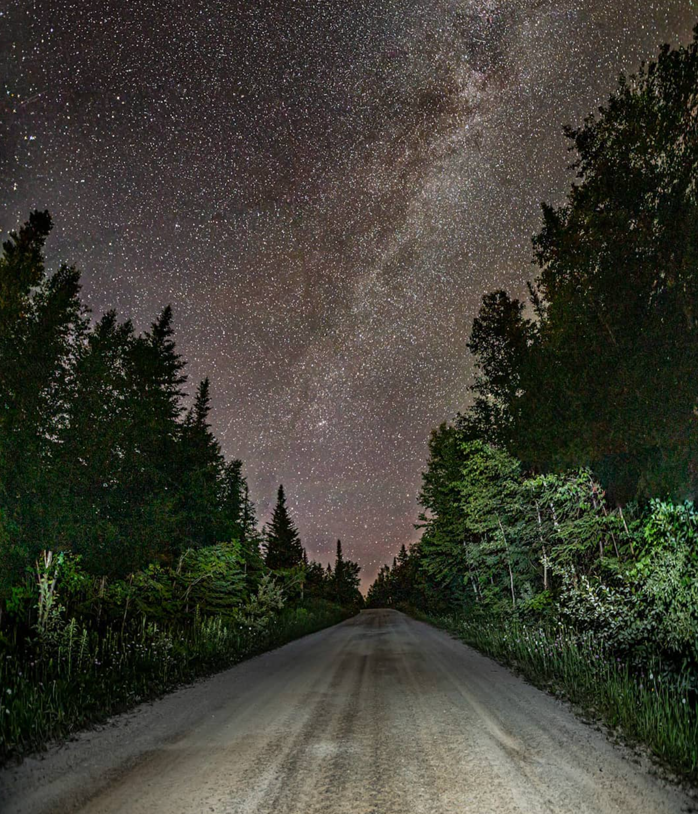
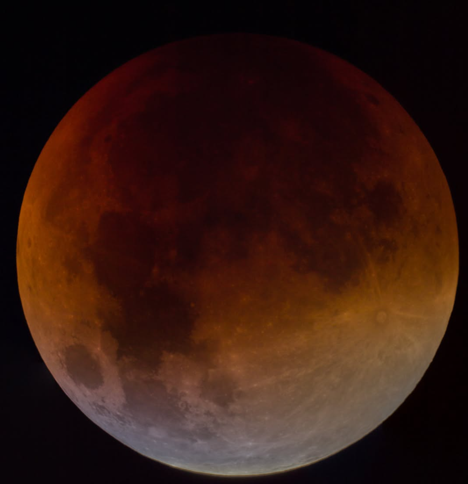
Several telescopes, including a Celestron 925 CGEM, used for stellar, planetary and solar astrophotography and scientific outreach.

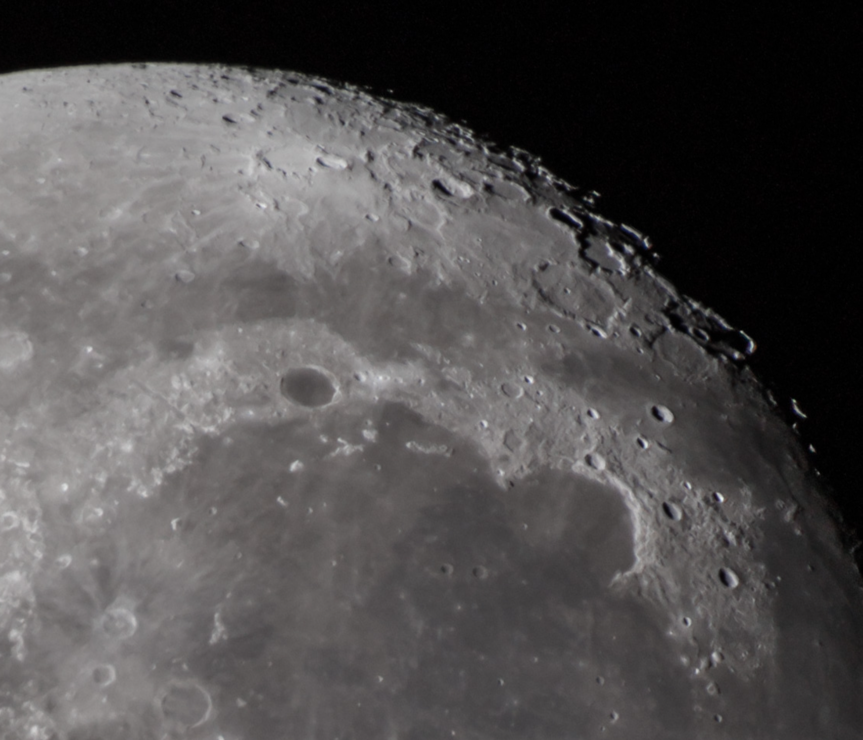
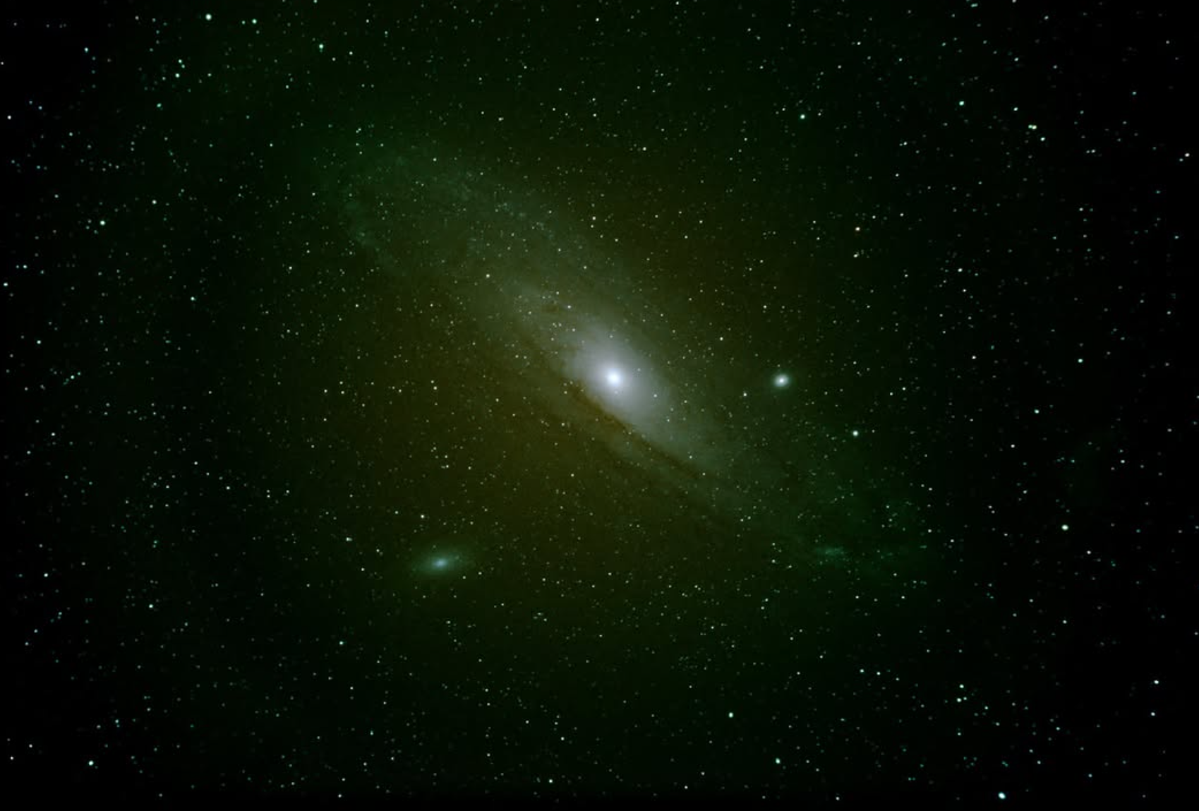
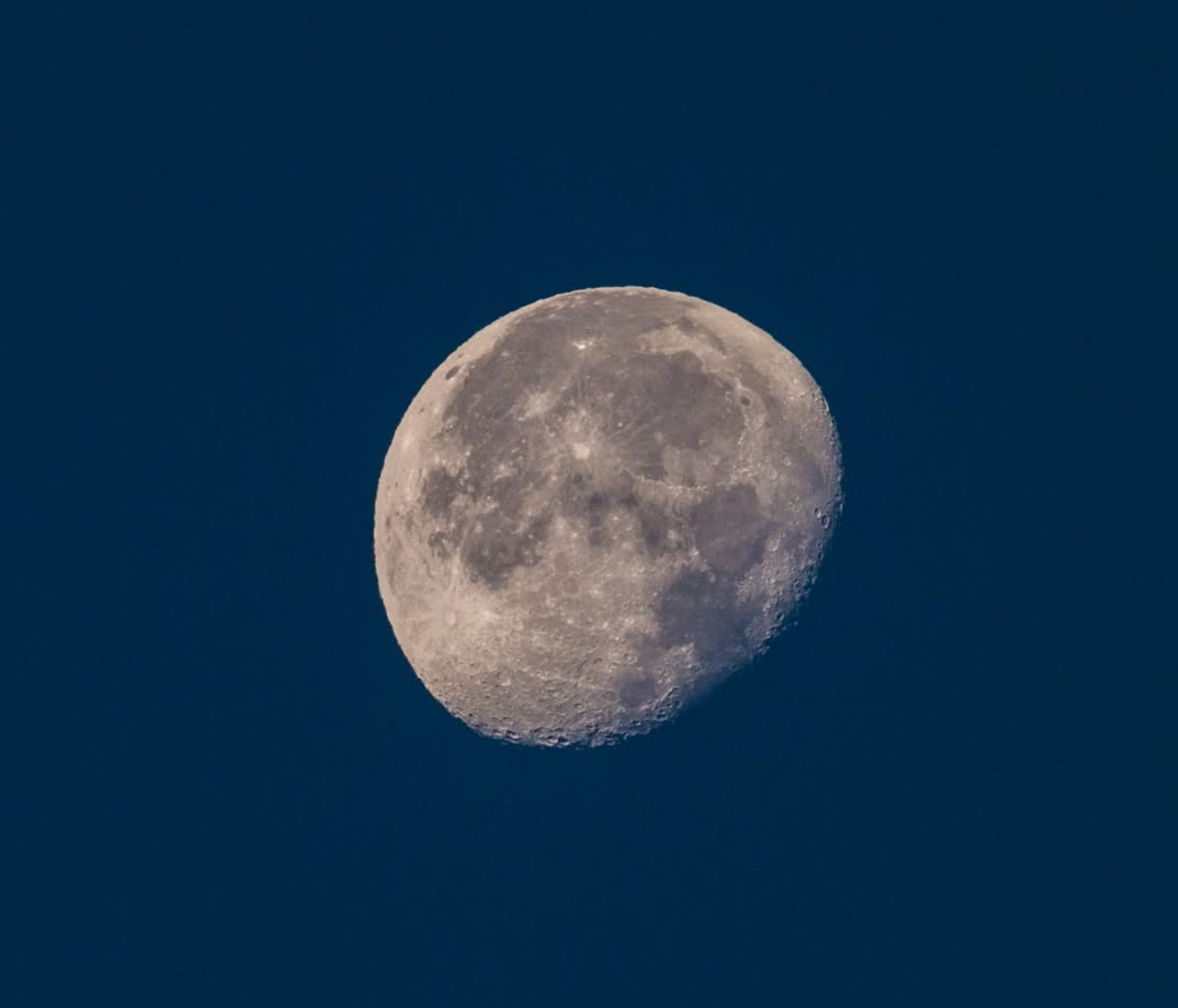
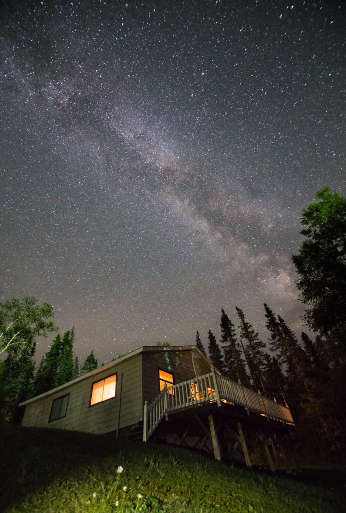
Connecting disciplines, technologies, and observations to solve complex problems.
For project enquiries, collaboration or technical discussion, contact me below.
Telephone
+34 687-207-221
Professional profile
www.linkedin.com/in/grant-george-buffett-ph-d-508a5611
Photographic profile
https://www.instagram.com/grantbuffettphotography/